OpenDocument Spreadsheet Files
To download the spreadsheet for a layer, just click on the underlined layer name in the following list.
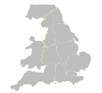
The Milestones layer is split into English regions, Wales and Scotland as for the Google Earth maps.
The spreadsheets are in OpenDocument Spreadsheet format.
Information on parishes is provided courtesy of Historic England.
| Layer | Contents | Issue Date |
|---|---|---|
| Milestones - See map below |
milestones and inscribed guideposts pre-1939 | August 25 |
| Milestones - Ireland | milestones and inscribed guideposts pre-1939 | August 24 |
| Boundary Markers - North Boundary Markers - South |
boundary markers and pre-1939 commemorative waymarkers |
August 25 |
| Crosses | stone crosses and uninscribed guide posts | August 25 |
| Modern Waymakers | new milestones and waymarkers since 1939, excluding replacements |
August 25 |
| Canal Milemarkers | canal milemarkers | August 25 |
| Fingerposts | fingerposts and village entry signs | August 25 |
| AA Signs | AA signs | August 24 |
| Tollhouses | tollhouses | August 25 |