KML files for Mapping software
 To download a KML map file, just click on the underlined feature type in the list below. These files can be opened using a range of mapping software such as QGIS, Maps.me or ESRI.
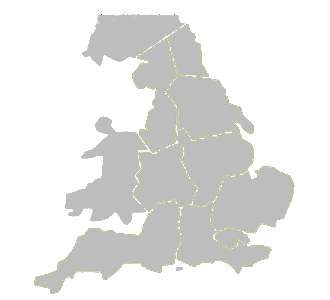
The main milestones file has been split into English regions, Wales and Scotland because with over 12,000 milestones the complete map file is too large for most computers to manage effectively.
Each file has its own coloured icons as indicated in the list, so that you can see at a glance which is which, when you display more than one file at a time.
Icons are labelled with their database national ID number for reference purposes. Clicking on an icon will produce a window with information about the marker and a photograph if available.
Information on parishes in the map files is provided courtesy of Historic England.
| Layer | Contents | Icons | Issue Date |
|---|---|---|---|
| Milestones - see map | milestones and inscribed guideposts pre-1939 |   |
August 26 |
| Milestones - Ireland | milestones and inscribed guideposts pre-1939 | |
August 24 |
| Boundary Markers | boundary markers & pre-1939 commemorative waymarkers |   |
August 26 |
| Crosses | stone crosses and uninscribed guide posts |   |
August 26 |
| Modern Waymarkers | new milestones and waymarkers since 1939, excluding replacements |   |
August 26 |
| Canal Milemarkers | canal milemarkers |  |
August 26 |
| Fingerposts | fingerposts & village entry signs |   |
August 26 |
| AA Signs | AA signs |  |
August 26 |
| Tollhouses | tollhouses |  |
August 26 |